Biking to the Konijnenberg
The drawbridges along the Dessel-Schoten Canal are a rare kind. When the bridge opens for a passing boat, you’ll be kept waiting for about fifteen minutes. For curious children, watching the bridge lift and the ship sail through is an exciting attraction.
Since the 19th century, the canal has connected to the River Maas, whose water is rich in lime. Water and lime were exactly what the dry, sandy soil of the Kempen once lacked to become truly fertile. With the supply of lime-rich water from the Maas, the land was irrigated and made more productive.
During the digging of the canal, clay layers were discovered. This clay turned out to be ideal for making bricks, leading to the establishment of the Kempen brick industry. You’ll likely notice the chimney of a brickyard with stacks of bricks.
You leave the banks of the Dessel-Schoten Canal and cycle through a small forest. There, at a crossroads, stands a stone marker: the Looypaal. It is said to have stood there since the 14th century, marking the border of three villages. The "T" stands for Turnhout, and the "B" for Beerse. The third municipality is Vosselaar. However, the third side of the marker doesn’t show a "V." What do you see instead? Can you spot the fox tail? It refers to Vosselaar.
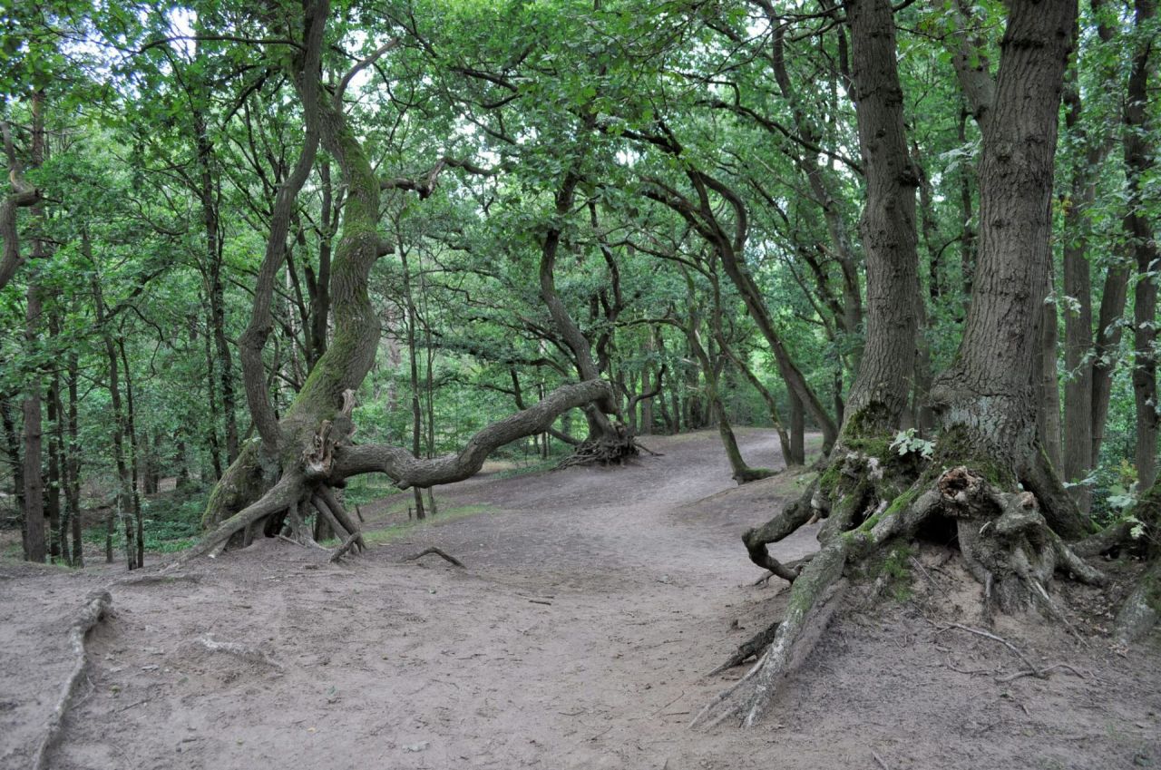
Beyond the busy Antwerpsesteenweg, you cycle into the center of Vosselaar. Right next to the village center lies a protected landscape: the Konijnenberg. At 36 meters, it is the highest sand dune in the Kempen. There are no playground structures here. But who needs them when you can romp and play on hills, sand, and twisted climbing trees?
Four kilometers further, you reach De Lilse Bergen.